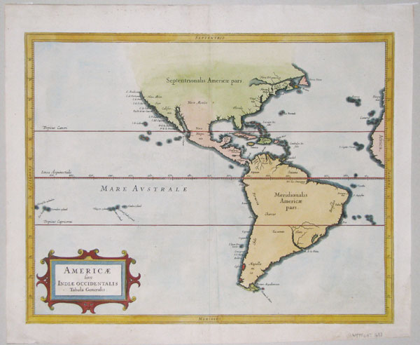
 | Map of the Americas
Johannes de Laet.
Leiden, 1633. An important map of the Americas, published in the atlas of the Americas by de Laet, a director of the Dutch West India Company. As such, de Laet had access to the latest geographic data: he resisted the concept of California as an island, giving what Burden calls 'the best west coast delineation to date'. Burden also comments on the 'more open style of engraving' that influenced both Blaeu and Jansson.
LAET0001 | £1400.00
More details
|


